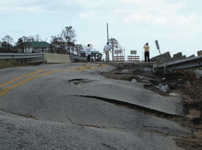
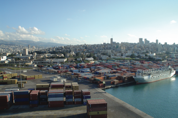
The recent earth tremors felt in Lebanon served as a timely reminder of the volatility of the land mass on which Lebanon rests. The good news is that, unnerving though it is to experience an earthquake — even minor tremors such as those that shook Lebanon in February — they are a reassuring sign that the fault systems beneath are feet are moving as they should. Indeed, a prolonged absence of seismic activity in an earthquake zone is far more troubling, as it suggests that a fault is jammed. Pressure builds up and is eventually released in one convulsive and destructive shock.
Lebanon has a long history of major earthquakes, which have destroyed Beirut at least twice and helped shape Lebanon’s current coastline.
The country lies at the nexus of three continental plates: the African, the Arabian and the Eurasian. The African plate is heading south-west and the Arabian plate north-east at approximately two centimeters per year. The Dead Sea rift between the African and Arabian plates runs up the Red Sea, through the Gulf of Aqaba, along the Jordan valley and into Lebanon where it becomes known as the Yammouneh Fault following the western side of the Bekaa.
However, Lebanon’s dilemma does not center solely on this one major fault but on the dozens of others running throughout the country. As an example, Beirut has at least five recognized faults. One follows the Beirut River, another called the Town Center Fault begins at Normandy and heads through downtown, another fault is in Ras Beirut, and two faults follow the Beirut coastline and bisect just off Ras Beirut. Geologists believe that it is these last two faults that created the Beirut peninsula by forcing the sea bed above the surface of the sea.
Other than the direct action of shockwaves, earthquakes can also generate other phenomena such as tsunamis and soil liquefaction.
A tsunami is a wave generated by an earthquake the epicenter of which is located beneath the sea bed. They can travel at speeds of 750 km/h at a height of 30-40m and can deliver on average 100,000 tons of water per 1.5 sqm of coastline. According to two Jesuit priests, Fathers Plassard and Kogoj, who conducted an extensive survey of Lebanon’s seismic record in the 1960s, Lebanon’s coastline has been hit by tsunamis 14 times over the last 2,500 years.
Soil liquefaction occurs in areas of loose earth, such as sand or silt, which also contains a high water content. With repeated shaking the soil develops the consistency of water completely undermining foundations with the result that buildings can topple over in one piece like felled trees.
Many seismologists believe that earthquakes are cyclical, occurring at regular intervals throughout history. Given this information, as well as a detailed knowledge of the faults themselves, some believe that earthquakes can be loosely predicted over the long term.
Lebanon is fortunate in this regard, as earthquakes have been documented over the last 2,500 years. By contrast, the notorious San Andreas Fault in California has records extending back only 250 years.
If anyone is in any doubt as to the impact earthquakes can have on Lebanon, one only needs to consult these records: 525 BC — Tyre destroyed; AD 349 — most of Beirut destroyed; July 6, 551 — total destruction of Beirut, massive damage to Tripoli and Tyre, coastline altered, part of Ras Chekka falls into the sea; 1170 — destruction of Tripoli; October 30, 1759 — destruction at Quneitra and Safad, 2,000 dead; November 25, 1759 — Beirut and Damascus destroyed, more than 40,000 dead. The above are only the major earthquakes, more have been chronicled.
An earthquake of a similar magnitude to the one of November 1759 would today be a national catastrophe. One earthquake in Lebanon could cause as much damage in a few minutes as was sustained by 16 years of war.
Although earthquakes cannot be avoided, their impact can be mitigated through prior planning, specifically the enforcement of strict seismic building codes for new construction. Unfortunately, the vast majority of Lebanon’s buildings constructed over the past 40 years lack any seismic qualifications. The near ubiquitous design of a reinforced concrete frame filled in with cinder block walls offers little protection against an earthquake.
The difference between cities that have incorporated seismic building codes and those that have not is shown by comparing recent earthquakes. The 1994 Northridge earthquake in California, with a magnitude of 6.8, killed 33 people. Yet the 2003 earthquake in Bam, Iran, with a magnitude of 6.6, killed 30,000 people. The 1995 earthquake at Kobe, Japan, had a magnitude of 7.3 and caused 4,600 casualties but the 1999 earthquake at Izmit in Turkey with a magnitude of 7.5 cost the lives of 45,000. California and Japan were prepared, Iran and Turkey were not.
When I last discussed the earthquake threat to Lebanon with an expert, I was told that Lebanon experiences a very strong quake exceeding a magnitude of seven approximately every 200 to 250 years. The last big earthquake was in 1759. Given that it is impossible to accurately predict the timing of earthquakes, the expert said that there was a 60-70% probability of a destructive earthquake occurring in Lebanon over the next 50 years. The bad news is that conversation took place 11 years ago.
Nicholas Blanford is a Beirut-based journalist and author of “Killing Mr. Lebanon – The Assassination of Rafik Hariri and its Impact on the Middle East.”


